Kirkby Stephen to Keld – 14.5 miles
At breakfast we spoke to two walkers who were doing the C2C from east to west. They told us just how muddy the Pennies had been for them and advised us to wear gaiters; this information did nothing to ease my apprehension. As we were leaving, Steve spoke to another couple from Germany who were on a cycling holiday and planned to travel to Kendal that day. After wishing them a safe journey we were soon ready for our walk. Saying goodbye to our hosts, and packed lunches put away, it was time for one last selfie.


Then we were off to find Frank’s Bridge and the start point.

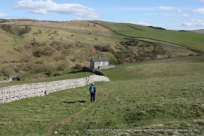
From the bridge we headed across the field and on to the quiet Hartley village. After passing a quarry it’s the first strenuous climb of the day and as we climbed,

in the distance we could see Nine Standing Rigg. At just less than 700m this is the highest point of the final stage towards Robin Hood’s Bay. The terrain became soft under foot, the temperature cooler and the winds picked up; the bonus was that we had fantastic views.

Approaching Nine Standards there is a resting point and its here we had a coffee before reaching the columns

at the summit. As we approached the columns they looked more like very large cairns,

purposely made, but for what reason still remains a mystery. As we got near we could see just how impressive they were,

but there was a slightly eerie feeling as there was nothing else around. There are many theories about them; one is they were erected to ward off any Scottish invaders who would have seen them and thought that there was an army camp there. At the summit we decided to take a break,


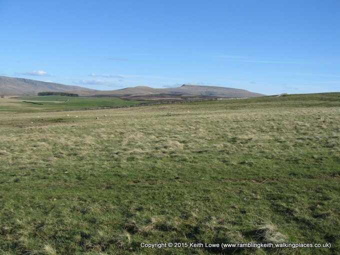
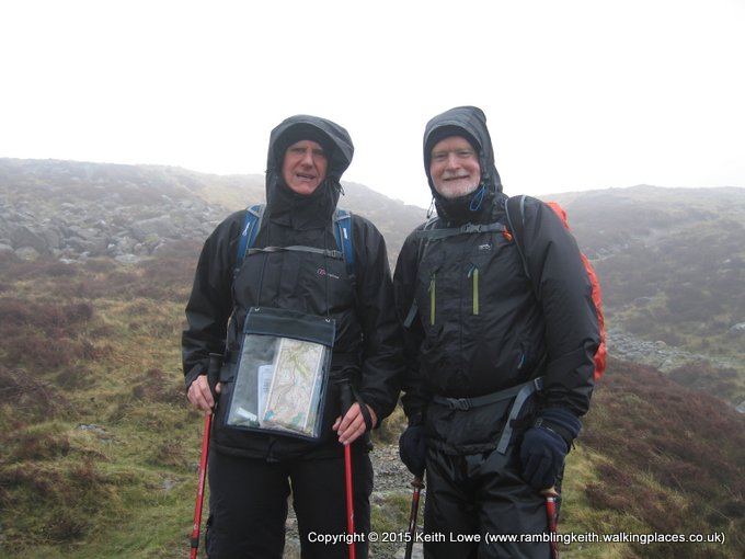
put on warmer clothing and prepare to deal with any peat bogs. Whilst gearing up another walker appeared. He also decided to put on waterproofs and in chatting to him we found out he was from the Netherlands and walking alone. We were soon ready and off to tackle what lay ahead. There are three routes to choose from depending on the season and conditions – Green, Red & Blue. We chose the blue route, this path crossed over the moor to reach Whitsundale Beck and we knew that once we arrived at the beck it would be just a case of following it to Ravenseat Farm.
Traversing the moor would take us in to the Yorkshire Dales National Park and out of Cumbria. The moor was easy and thankfully, due to clear visibility,

we could see the way posts.

The ground was soft in places and easily navigable, not as we had been told by walkers over breakfast. We arrived at Whitsundale Beck and decided to have lunch; this was when we had our first signs of rain but luckily it was only a short shower. Following the beck was pretty tiring as it zig zagged, with the ground being loose boulders, rocks, banks to climb and soft underfoot. As we neared Ravenseat Farm (which has been in TV programmes with Julia Bradbury doing the C2C and “Countryfile”) we passed an elderly couple we thought were just out for a stroll. We continued on to the farm where we had cream tea & scones in the barn. The elderly couple appeared, they too had stopped for tea. During Steve’s chat with them he found out the gentleman aged 80, was from South Africa, whilst his 70 years old wife was from Sussex. They were also doing the C2C and heading for Keld, our next accommodation.
We had finished our tea & scones when a number of non-walkers arrived. At this point we were ready to set off in the drizzle to finish the day’s walk so we said our goodbyes and were off following the beck again, heading south until we reached the B6270 road. It is here that the guide book suggests following the quiet road in to Keld, approximately half a mile away. The rain eased as we walked along the road, passing Wainwath Force, a pretty waterfall.

We walked on until we arrived at our next accommodation, Keld Lodge,
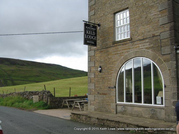
and were shown to our rooms where the obligatory freshening up took place. As there was no signal for any mobile phone, I had to use the rural phone box down the road to call home.

When I arrived at the phone box I found the directory; it was mouldy. There were cobwebs in every corner and spiders wandering around. PLUS, to my embarrassment, I had to read how to use the phone. After calling home, I returned to the Lodge, met up with Steve & Lynn to have a pre-dinner drink and then finished our evening with a lovely meal before retiring to our rooms.
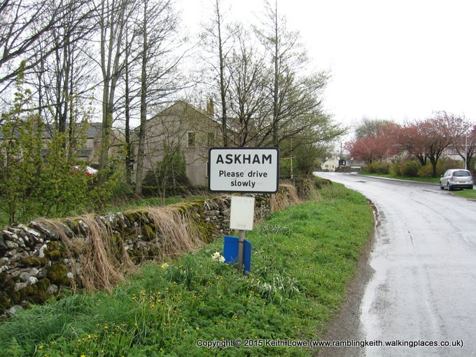
Keld is an old Scandinavian name meaning “The Spring” and is the head of Swaledale; it’s actually the crossroad of the Pennine Way & Coast 2 Coast. It’s a quiet little village but in the 19th century it stood at the heart of the lead-mining industry. The River Swale, which rushes through the village, is dyed brown from the peat.

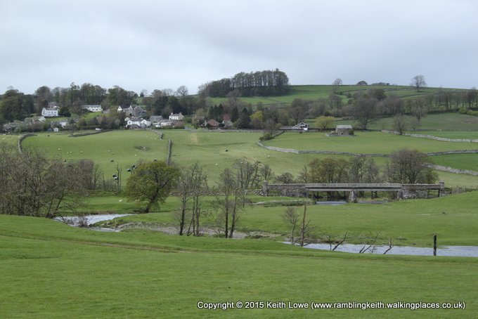
It’s where the C2C divides to a higher or lower route. The former takes you over moors and passes derelict lead mining areas scarring the landscape; we felt we wanted to see more of the villages of Swaledale, so we opted for the low level route.